- Category
- Latest news
Ukraine’s “People’s Satellite” Still Hunts Russian Targets—Even Past Its Expiry Date
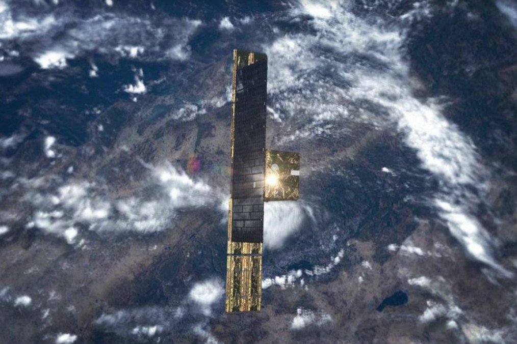
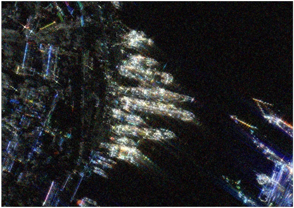
Ukraine’s Main Directorate of Intelligence (HUR) released high-resolution satellite images of Russian assets and positions, as one of the two ICEYE satellites continues to operate beyond its planned lifespan, the Ukrainian outlet Ekonomichna Pravda reported on March 4.
The so-called “People’s Satellite,” acquired for $14.5 million (600 million hryvnias) was launched into space in 2021. Although its three-year warranty period has passed, it remains fully operational.
Nick Kowalski, a representative of ICEYE, confirmed that the satellite is functioning correctly and will continue supporting Ukraine’s military until it reaches the end of its physical lifespan. The satellite can capture images with a resolution of one meter, covering an area of 15×15 kilometers per scan.
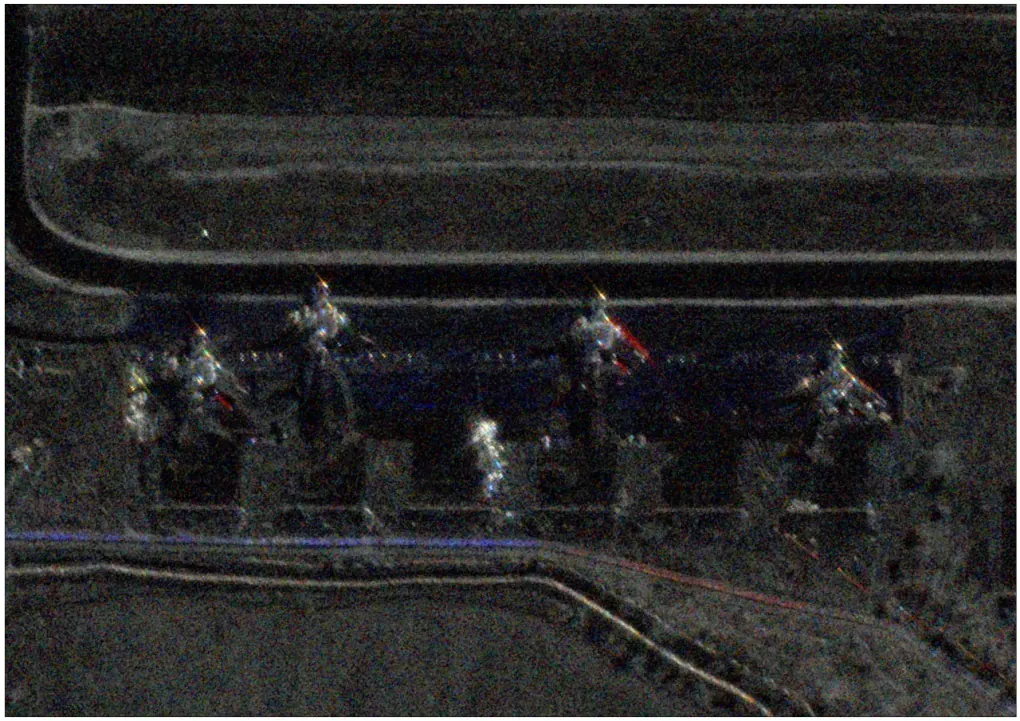
Alongside it, another ICEYE satellite—purchased by the German government late last year—also operates in Ukraine’s interests. However, details about its launch date and specifications remain classified.
Unlike traditional optical satellites, ICEYE’s radar satellites use Synthetic Aperture Radar (SAR) technology. Orbiting at 500 kilometers, they emit radar waves that bounce off objects and return to the satellite, creating highly detailed images of the Earth’s surface.
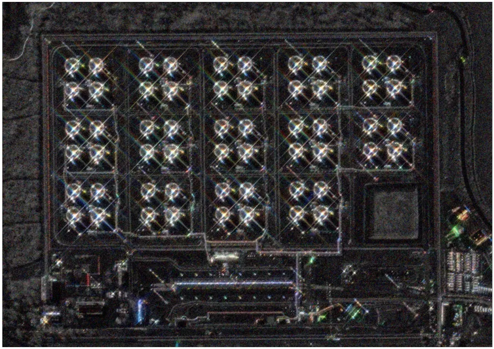
Because radar waves can penetrate clouds and certain types of cover, Ukraine’s intelligence services can receive images from any location on the planet, even at night.
Ukraine’s military intelligence has used ICEYE satellites to capture 5,200 images, with 1,000 taken in just the past six months.
According to HUR spokesperson Andrii Yusov, over 40% of these images were used for precision strikes, inflicting losses on Russian forces worth billions of dollars.
Owning dedicated satellites provides a significant advantage over simply purchasing access to commercial satellite imagery. On average, a single ICEYE satellite completes 2.5 effective passes over Ukraine per day, ensuring guaranteed data availability for its owner.

In contrast, accessing images from ICEYE’s entire satellite fleet requires waiting in line with other clients. The difference in data retrieval time between using Ukraine’s own satellites and relying on partner imagery is about sixfold.
Earlier, Ukraine received access to the Starshield satellite communication network, a secure and military-grade version of SpaceX’s Starlink service. This agreement was made possible through a contract between the Pentagon and SpaceX.
The contract, signed in August 2024, allows 2,500 existing Starlink terminals in Ukraine to connect to the Starshield network. Before this, 500 terminals were already integrated into the system. In total, 3,000 terminals will now be serviced under these agreements, according to the US Space Force’s Commercial Satellite Communications Office.


-1c91e31ae6d87f29e0d7d16254e7af67.jpg)
-c439b7bd9030ecf9d5a4287dc361ba31.jpg)

-111f0e5095e02c02446ffed57bfb0ab1.jpeg)

