- Category
- War in Ukraine
Farsight Vision Unveils Software to Geolocate Hostile Drones via Intercepted Video
 Prefer U24 Media on Google
- Authors

-72b63a4e0c8c475ad81fe3eed3f63729.jpeg "Photo of Cyril Barabaltchouk")
The defense-technology company Farsight Vision has launched FSV Localizer, a new software tool designed to instantly geolocate hostile drones and map their flight paths using intercepted video footage, according to the company’s announcement on July 13.
The software enables counter-UAV units and intelligence teams to pinpoint an enemy drone’s precise position within seconds by automatically matching live video feeds or recorded onboard camera imagery against real-world terrain maps. By utilizing automated visual data processing, the platform reconstructs a drone’s complete flight path using sequential tracking points on a digital interface.
We bring you stories from the ground. Your support keeps our team in the field.
According to product specifications released by Farsight Vision, this imagery-based tracking system allows operators to trace past and current coordinates entirely through video analysis, removing the operational requirement for specialized electronic sensors or heavy direction-finding hardware.
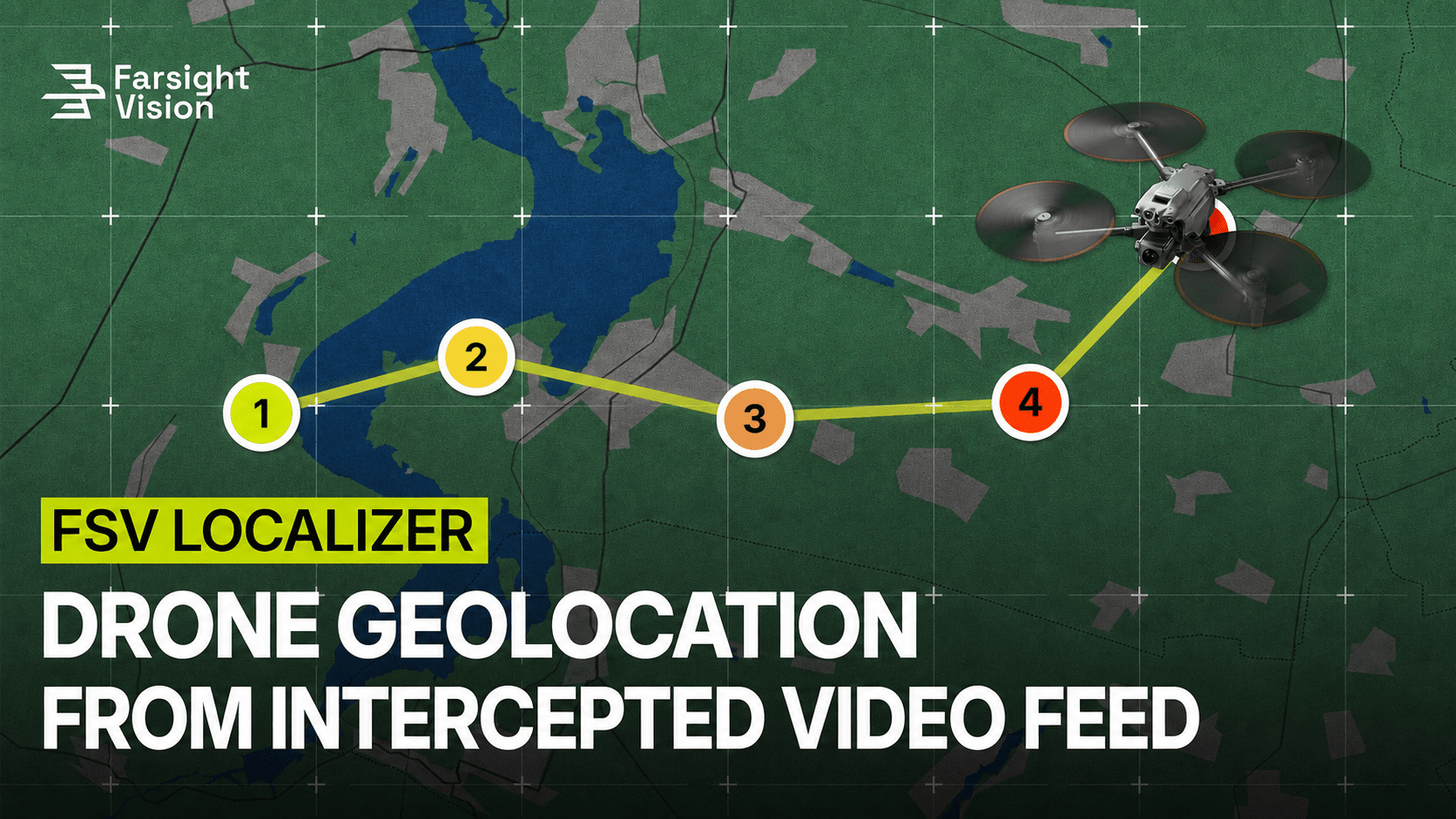
The introduction of the software targets a critical vulnerability in unmanned operations by turning intercepted adversarial data into immediate tactical countermeasures. “In modern warfare, an intercepted drone video feed is more than just footage—it’s a source of intelligence, if you know how to read it,” said Viktoriia Yaremchuk, CEO of Farsight Vision.
-c21a044ae3a8fd8c7ab11a85ace580cf.png)
Yaremchuk noted that the system transforms passive video into precise geolocation data within seconds, revealing where a drone is, where it has been, and potentially where it originated to give counter-UAV units actionable intelligence when response times are limited.
To deploy the capability on the battlefield, operators designate a specific search area on a digital map and upload the drone-captured media or connect an active live stream to initiate the automated terrain analysis. Farsight Vision stated that the tool is the latest expansion of its geospatial intelligence platform, which focuses on accelerating frontline response times and strengthening situational awareness for defensive units operating in highly contested environments.
The integration of automated terrain-matching software follows a wide array of military initiatives meant to combine disparate Ukrainian target sensors into unified networks. Under these multi-layered operational architectures, localized command systems process data from radar arrays, electronic intelligence feeds, and intercepted camera transmissions to create a single airspace map, helping defense units select the most efficient countermeasure to neutralize incoming aerial threats.
Discuss this article:



-efa69d4733b5af9f7cd0a642f85424a6.jpeg "Thick black smoke rises from the heavily damaged Proton-Electrotex plant in Orel, Russia, following a reported strike. (Source: Exilenova+)")